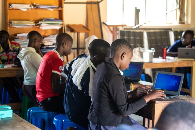
OpenStreetMap in Schools
OpenStreetMap in Schools
Adding communities to the map supports development through informed decision making for resources alocation and lobbying by the leaders. This program works with schools on the level of primary and secondary (ISCED-Level; 1,2,3). Teachers and Students are equiped with basic computer skills and mapping techniques which are used to digitize their communties on to the OpenStreetMap platform.Read More

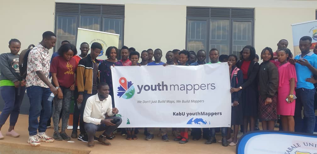
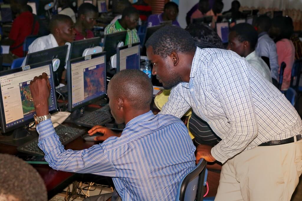
Youth Mappers
Youth Mappers - Uganda
Equiping university students with geospatial skills through digitization of communities on to OpenStreetMap. The open data created is further utilized to support solving community challenges. The students together with their mentors utilize the created data in their university research prgrams. Read More

Public Lecture
Career Guidance
Inspiring the youth by sharing skills and experiences outside the education sector natures and guides university students on how to prepare for a life after university.
These include:-
Geographic Information Systems (GIS) skills.
Carreer Guidance.
